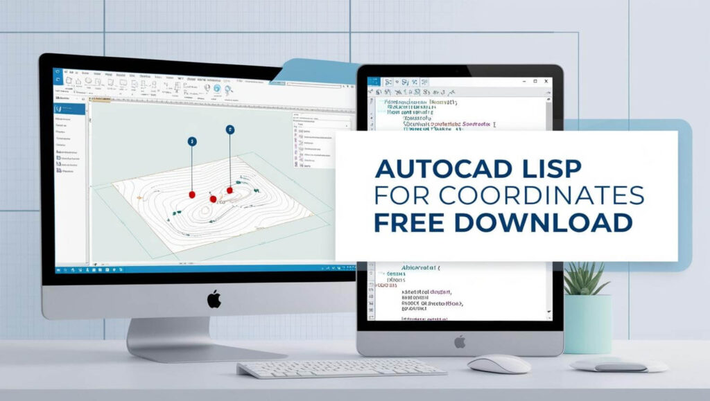
AutoCAD LISP for Coordinates
AutoLISP, a variant of the LISP programming language, is a powerful tool for automating tasks in AutoCAD, especially for handling coordinates. Whether you’re designing in 2D or 3D, AutoLISP can save time, reduce human errors, and improve the efficiency of your drawings. In this guide, we will explore how to use AutoLISP for creating coordinate tables and displaying coordinates in AutoCAD. Plus, we’ll provide you with useful resources and downloadable LISP files to streamline your workflow.
AutoLISP routines are a must-have tool to speed up repetitive tasks and enhance drawing accuracy.
XYZ is a free lisp file designed to teach you about coordinates in AutoCAD software.
If you’re passionate about automation with AutoCAD Lisp, it’s a great stepping stone to mastering BIM. Learn about the tools in our article on BIM Software: What Software is Used in BIM?.
AutoCAD lisp for Coordinates free download
Autodesk AutoCAD Lisp File For Coordinates Free Download will be of interest for those who run auto-post. but it will mostly be used by businesses and organizations with a requirement for sustainable income.
It can be used for two-dimensional drawing and single-beam drafting, both commercial and residential. The computer software package has easy-to-use shortcuts that many users find themselves quite familiar with AutoCAD lisp files.
In this article, I have given a link for XYZ LISP in AutoCAD. I have shown how to use the XYZ lisp with examples.
Using AutoLISP for coordinates has numerous benefits:
- Speed: LISP scripts automate repetitive tasks, saving you hours of manual work.
- Accuracy: Reduces the risk of human error when inputting or manipulating coordinates.
- Customization: Tailor LISP routines to meet the specific needs of your project, whether for civil engineering, architecture, or industrial design.
Display Coordinates in AutoCAD with Lisp
The concept of this Heading was about creating a LISP file in Autocad and using it to make drawing easier by reducing human error when editing them.
Here are some useful LISP files for managing coordinates in AutoCAD, available for free download:
COOR.LSP: Easting-Northing Coordinates Table in AutoCAD
I have been using this for years now and it is really a time saver in many ways.
COOR.LSP helps generate Easting-Northing tables, which is especially useful for geospatial projects in civil engineering or surveying. It automatically formats your coordinate data into an easy-to-read table within AutoCAD.
COOR.LSP – Easting Northing Table Lisp DownlaodEN.LSP: Coordinate Labeling Tool
EN.LSP is designed for labeling coordinates in AutosCAD. It automatically labels coordinate points based on their positions in the drawing, streamlining the annotation process.
EN.LSP – Easting Northing Lisp DownlaodThis has been very useful for me to annotate the point locations or any objects in the drawings.
BIM is all about efficiency, and automation with AutoCAD Lisp can take your workflows to the next level. Check out our BIM Career Advancement Guide: Roles & Skills for the skills you’ll need.
If you are working on a project in Autocad, the Elevation and Description will be helpful when it comes to converting coordinates. A LISP file for coordinates can also help with this process if you need them to look like an AutoCAD drawing.
Link of the lisp file to create the coordinates table in Auto CAD This extension to the Auto CAD software has been designed for graphically oriented users so that they can create coordinate systems without learned programming.
This extension to the Auto CAD software has been designed for graphically oriented users so that they can create coordinate systems without learned programming.
Bonus Lisps to Display Coordinates in AutoCAD
Here are some additional LISP files to enhance your AutoCAD experience:
XYZ LIST.LSP – Easting Northing Lisp Downlaod XYZ.LSP – Easting Northing Lisp Downlaod CD.VLX – Easting Northing Lisp DownlaodReady to take your automation skills further? BIM could be your next step—learn how to integrate AutoCAD and BIM in our guide on How to Become a BIM Coordinator.
How to Create a LISP File for Coordinates in AutoCAD
Creating an AutoLISP file for coordinates is simple. Follow these steps:
- Open the AutoLISP editor: In AutoCAD, use the command
VLISPorLISPto access the editor. - Write the code: Define a function to input, store, and display coordinates. For example, use
(defun c:LabelCoords ...)to create a custom routine for labeling coordinates. - Load the LISP file: After writing your code, load the LISP file by using the
APPLOADcommand in AutoCAD.
To get started with the world of BIM, check out our beginner-friendly article, Introduction to BIM, and understand its core concepts.
FAQ’s
How to Load a LISP File in AutoCAD?
To load a LISP file in AutoCAD, type the command APPLOAD in the command line and select your .lsp file. Once loaded, you can execute the routines by typing their names at the command prompt.
How do I create a lisp in AutoCAD?
To create a lisp in Autocad, you will need to open the command line and type “lisp” without quotes. This will enter the Lisp Editor where you can write code.
What is the Difference Between AutoLISP and Visual LISP?
AutoLISP is a text-based interface for automating tasks, while Visual LISP is a GUI-based development environment that offers enhanced debugging and user interface features, making it suitable for more complex applications.
Which cad software support AutoLISP and visual lisp?
Autolisp is a command-line interface for AutoLISP that lets you type in commands to automate your work. Visual LISP is a GUI-based development environment for Lisp.
How Do I Open a LISP File in AutoCAD?
To open a LISP file, use the LISP LOAD command followed by the name of your LISP file. Alternatively, you can use LISP OPEN to open the file in the current drawing.
What If I Want to Label Coordinates Based on UCS?
If you want to label coordinates based on the User Coordinate System (UCS), LISP routines can be written to detect the UCS and label coordinates relative to it, ensuring accurate placement in your AutoCAD drawing.