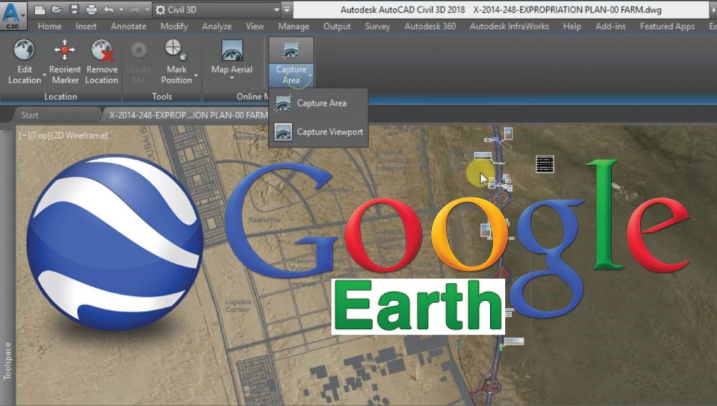
Import Google Earth Map Into AutoCAD Civil 3D
Inserting Google Earth Maps in Civil 3D In the article, I will tell you how to Import Google Earth Map Into AutoCAD Civil 3D. We’re going to look at AutoCAD Civil 3d’s Google Earth integration. Frequently Google Earth is used for quick access to aerial photography and services. The First ting we can do is […]
Import Google Earth Map Into AutoCAD Civil 3D Read More »
